
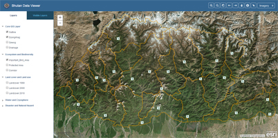
An interactive web mapping application to view geospatial data arranged in various thematic areas.
Last updated Thursday, September 9, 2021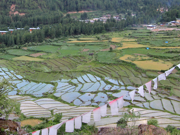
An interactive web mapping application to support planning of farm road construction in Bhutan.
Last updated Monday, October 13, 2014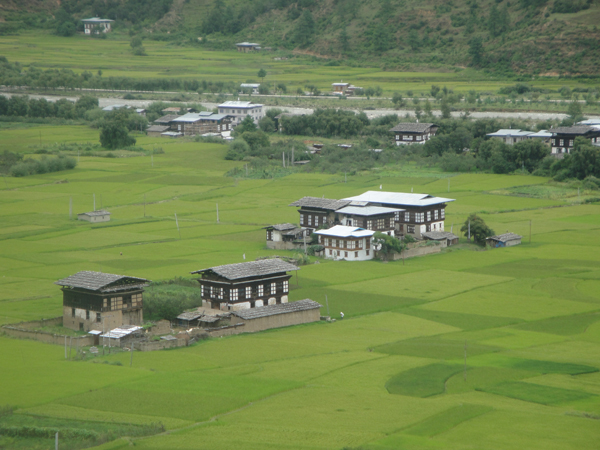
A web mapping application for locating land parcels in a given Gewog and Dzongkhag based on Thrarm and Plot Id information.
Last updated Wednesday, October 8, 2014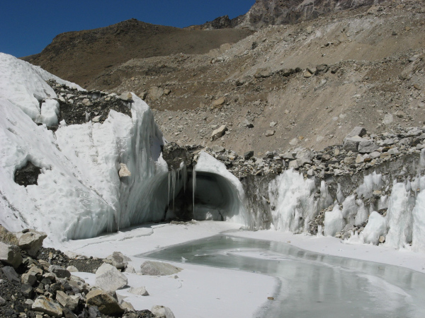
Interactive mapping of glacier dynamics in Bhutan for 1980, 1990, 2000, and 2010
Last updated Friday, October 10, 2014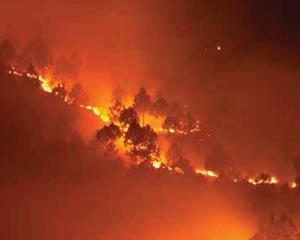
MODIS based active fire detection and monitoring system in Bhutan with SMS and email alerts
Last updated Friday, October 10, 2014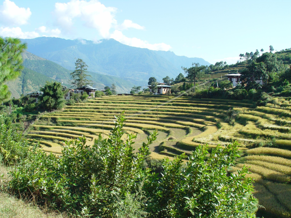
Statistics on the harmonised land cover database of Bhutan for 1990, 2000 and 2010
Last updated Friday, October 10, 2014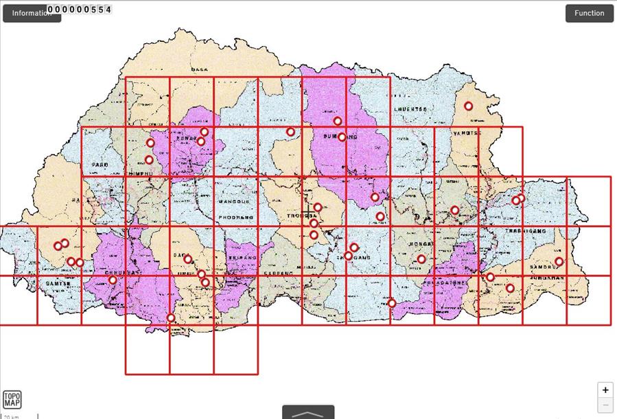
This is the sample topographic base map view of Southern belt.
Last updated Saturday, September 30, 2017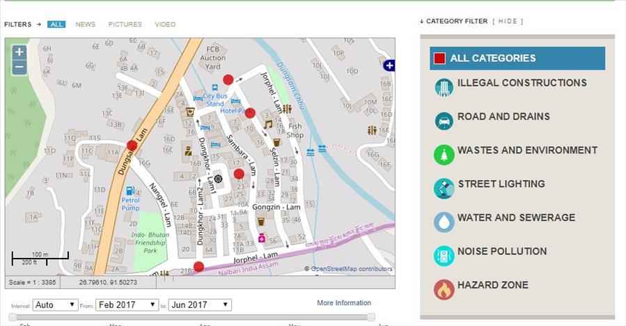
SamdrupJongKhar City Addressing App
Last updated Saturday, September 30, 2017