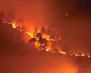

Forest fire is a big concern in many countries including Bhutan due to its adverse ecological and economic effects. A need for reliable and time effective information on fire is realized to be important as part of forest fire management. In view of its synoptic and high repetitive coverage, satellite data is found quite useful in fire detection and monitoring, and burnt area assessment on near real time basis. MODIS sensor on board Terra and Aqua satellites of NASA is extensively used for the purpose across the globe.
ICIMOD has developed a MODIS based forest fire detection and monitoring system for Bhutan in close collaboration with the Department of Forests, Bhutan. The system facilitates data acquisition, processing and reporting on fire location information in an automated manner.
The MODIS active fire data are downloaded from Fire Information for Resource Management System (FIRMS) based in University of Maryland. A number of geo-processing tasks are carried out to attach important information such as administrative units, protected area, and land cover to the active fire data. The email notification containing detailed information on individual fires are sent to the concerned users. The system is run as a pilot phase this year to evaluate product quality, use, and other operational aspects and it will be in operational use next year.
This interactive mapping application allows visualization of active fire locations on any given day along with district level fire count statistics. In this application, user can select a certain time period to view the fire events using a time-slider tool.